LIDAR ANNOTATION SERVICES
Labelify delivers stellar lidar annotation services that power AI, machine learning, and data operation strategies.
WHAT IS LIDAR ANNOTATION?
Data from Lidar (Light Detection & Ranging), is essential for autonomous technology and geospatial technology. Lidar uses lasers, scanners and specialized GPS receivers in order to calculate the distance to an object. Lidar data annotation is a complex and time-consuming job that requires an expert-level knowledge of data annotation.
WHAT ARE THE TYPES OF LIDAR ANNOTATION SERVICES?
Data from Lidar is vital for autonomous technology and geospatial technologies. Lidar data annotation is a complicated and time-consuming task that requires expert-level data annotation knowledge.
The Labelify experts have experience in processing thousands of data points and are skilled at annotating Lidar cloud data. After assessing the quality and throughput requirements of clients, Labelify creates custom processes.
LABELIFY’S LIDAR ANNOTATION SERVICES
3D CUBOID ANNOTATION
Labelify annotators can use cuboids to generate training datasets that teach ML models how to recognize depth of objects.
RAPID ANNOTATION
Labelify’s lidar annotation platform uses image interpolation to quickly annotate suitable files such as JPG, PNG and others.
KEYPOINT ANNOTATION
Teams that labelify objects draw shapes and variations using individual points.
LIDAR ANNOTATION PROCESS
Labelify subject matter experts will guide you through the process to develop a customized end-to-end workflow.
1. Expert Consultation
Transformative, solution-based approach. Multidisciplinary problem solving. Improved resilience and agility.
2. Training
Targeted resources. Custom skilling. Deep and focused microlearning. Domain expertise. Rostering tools.
3. Workflow Customization
Alignment between processes and tools. Structured Development Milestones. Production and QA annotations can be done in two steps.
4. Feedback Cycle
Analytics can help you achieve transparency Real-time Monitoring and Service Delivery Insights. Edge Case Insights. Dynamic Model Improvement.
5. Evaluation
Evaluation of the deliverable. Evaluation of the most critical metrics and quality assurance procedures. Model reconsideration. Analyse of the business’s performance.
WHAT INDUSTRIES NEED LIDAR ANNOTATION SERVICES?
AGRICULTURE
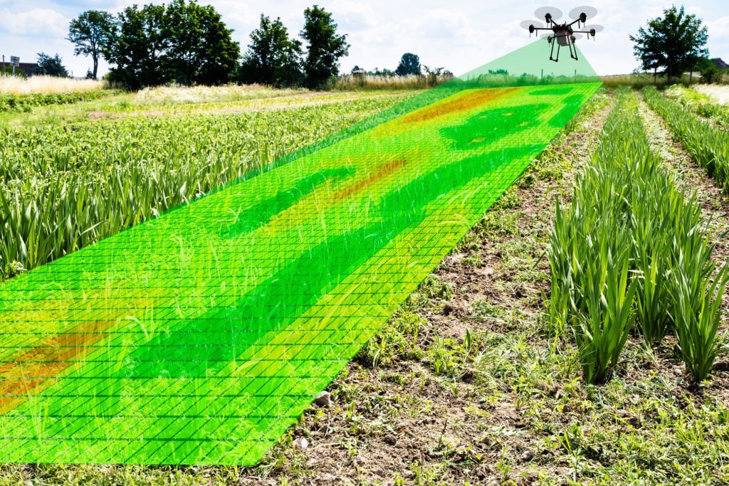
In agribusiness, Lidar can be utilized to prepare AI calculations to distinguish regions that require more water or compost. This data can assist ranchers with saving money on cost, time, and work.
AUTONOMOUS TECHNOLOGY AND TRANSPORTATION
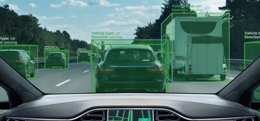
Lidar annotation services India can help in autonomous technology through labeling of images of a car’s environment.
GOVERNMENT
Lidar annotation experts in the public sector offer a solution for sensitive data that requires processing at the federal, state, and local levels efficiently, effectively and for user experience.
Why Choose Labelify?
Accelerate AI Projects
Quickly develop and improve your AI/ML models to bring your solutions to market faster and gain a competitive advantage.
Make Data Actionable
Rapidly unlock the value of 2-D and 3-D image data from various sources using your preferred tools and methods.
Drive Innovation
Free your data scientists to focus on higher value work by leaving the complex data preparation and annotations to us.
Improve Data Quality
Move your complex LiDAR, orthomosaic, point cloud, and photogrammetry image data over the quality finish line.
Scale Your Operations
From proof of concept to production, tap our proven people, processes, and technology to ramp up to your full potential.
Harness Our Expertise
Our industry training and experience annotating all forms of aerial, UAV, and geospatial images mean you get expert, quality labeling.
Our team can help you with specific advice on which service would best suit your team’s needs


