Artificial Intelligence in Agriculture

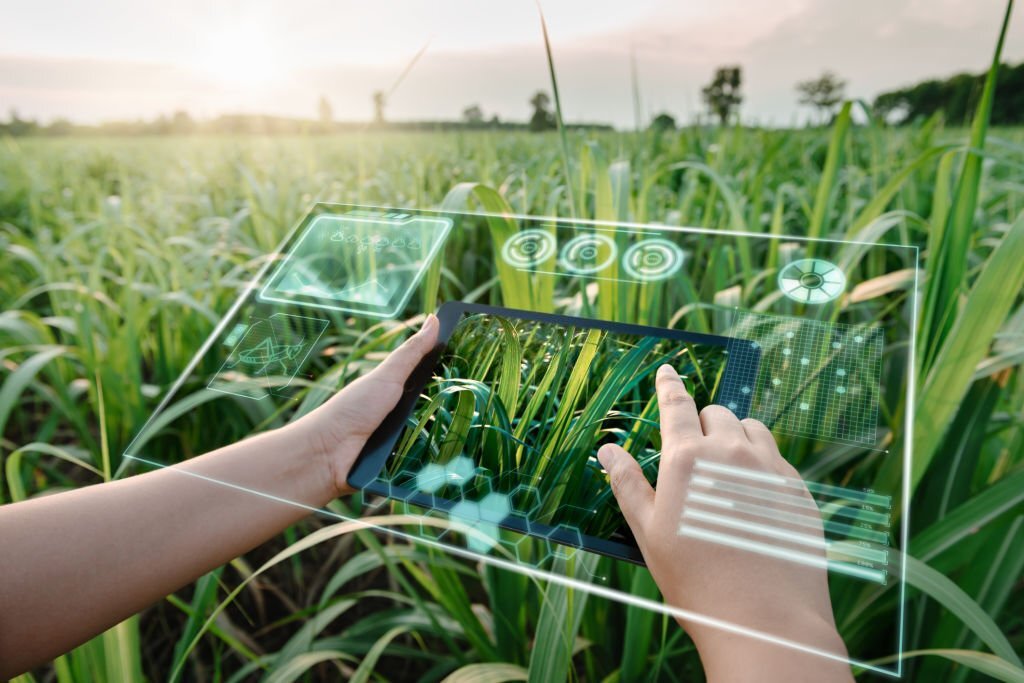
The Labelify workforce extracts intelligence out of unstructured data. This enables precision agriculture and smart farm technologies that help farmers reduce water usage, predict yield, protect crops, and automate their operations.

Labelify experts extract crucial data from imagery of fields and sky to power AI farming systems to make accurate predictions on soil, weather, and crops. Insights are provided to farmers, enabling timely decisions for quality produce.

USE CASES

Screenshot 2021 12 25 000840

FIELD AND SOIL STUDY

The thermal properties of soil are used by Labelify’s specialists to mark fields. This includes thermal conductivity and thermal diffusivity as well as moisture level and specific heat. It helps farmers determine the best crop location.

Screenshot 2021 12 25 001612

PEST AND WEED DETECTION

Labelify’s experts in data annotation annotate diseased parts of plants. Machine learning algorithms can detect and remove pests and weeds. It assists farmers in reducing the use of herbicides or eliminating them entirely.

Screenshot 2021 12 25 000930

CROP MONITORING

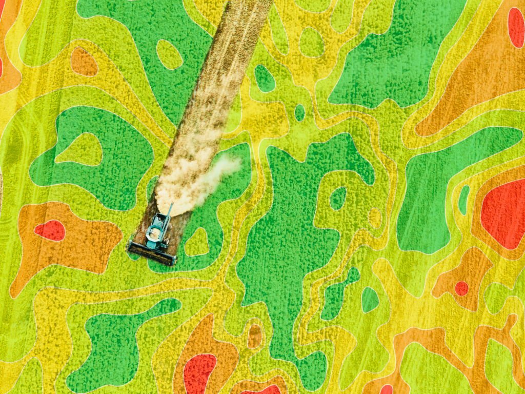
The Labelify teams extract crucial data from aerial imagery of farmlands. This allows artificial intelligence systems to monitor and assess crop health on a per-crop basis, and powers automatic recommendation systems for farmers.

Screenshot 2021 12 25 000953

ROBOTICS AGRICULTURAL

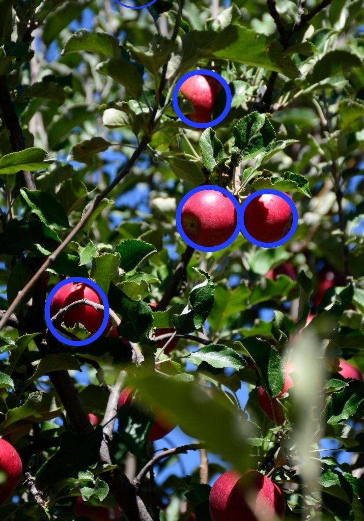
The Labelify team trains computer vision models by labeling and annotating plants and crops. This allows farmers to concentrate on increasing their overall production yields and reducing repetitive tasks such as harvesting, picking, pruning and seeding.

FIELD AND SOIL STUDY

The thermal properties of soil are used by Labelify’s specialists to mark fields. This includes thermal conductivity and thermal diffusivity as well as moisture level and specific heat. It helps farmers determine the best crop location.

PEST AND WEED DETECTION

Labelify’s experts in data annotation annotate diseased parts of plants. Machine learning algorithms can detect and remove pests and weeds. It assists farmers in reducing the use of herbicides or eliminating them entirely.

CROP MONITORING

The Labelify teams extract crucial data from aerial imagery of farmlands. This allows artificial intelligence systems to monitor and assess crop health on a per-crop basis, and powers automatic recommendation systems for farmers.

ROBOTICS AGRICULTURAL

The Labelify team trains computer vision models by labeling and annotating plants and crops. This allows farmers to concentrate on increasing their overall production yields and reducing repetitive tasks such as harvesting, picking, pruning and seeding.

Well-managed team, hits predictable timelines, good quality work, easy to scale team up and down. iMerit helps us produce our products faster.

CTO – GEOSPATIAL INTELLIGENCE COMPANY FOCUSED
ON PROPERTY RISK AND VALUATION

How it works

Simple and Fast

1. Talk to Us

Talk with our team about your data and any customization you may require in your training dataset

2. Free demo & PoC

A free demo will be given and we will compose a Proof of Concept (PoC) to clarify any ambiguities or uncertainties about the project

3. Launch

A dedicated Labelify Manager prepares the timeline and set up the project team by selecting expert annotators who have worked on similar projects before

4. Execute

Microtasks are distributed to a fully managed workforce under the guidance of Labelify Project Manager

5. Delivery

Annotated Data is delivered to the client after completing a triple level quality check process

CAPABILITIES

path planning

PATH PLANNING

The workforce uses path planning (also known as motion planning) to allow autonomous agriculture tractors to find the best path between two points.

3D ANNOTATION

3D ANNOTATION

Semantic segmentation

SEMANTIC SEGMENTATION

Untitled design

BOUNDING BOXES

Untitled design 1

POLYGON ANNOTATION

Why Choose Labelify?

Accelerate AI Projects

Quickly develop and improve your AI/ML models to bring your solutions to market faster and gain a competitive advantage.

Make Data Actionable

Rapidly unlock the value of 2-D and 3-D image data from various sources using your preferred tools and methods.

Drive Innovation

Free your data scientists to focus on higher value work by leaving the complex data preparation and annotations to us.

Improve Data Quality

Move your complex LiDAR, orthomosaic, point cloud, and photogrammetry image data over the quality finish line.

Scale Your Operations

From proof of concept to production, tap our proven people, processes, and technology to ramp up to your full potential.

Harness Our Expertise

Our industry training and experience annotating all forms of aerial, UAV, and geospatial images mean you get expert, quality labeling.

Choose a better partner

Our specialist will guide you through key features of our service offering that are relevant to your business.

Certifications and Compliance
labelify

Ready to Get Started? We are.
✔️ 3000+ Managed Workforce

✔️ 24*7 Monitored Facility

✔️ SME & Product Manager

team welcome

Large Language Models | Computer Vision | Image Annotations | Enterprise AI | Pattern Recognition

Generative AI | MLOps | Recurrent Neural Networks | Bounding Boxes | Intersection Over Union | YOLO

GPT 4 Turbo | Semi-Supervised Learning | Active Learning | NLP 101 | Few-Shot Learning

Mean Average Precision | Foundation Models | Auto-GPT | Zero-Shot Learning | Anthropic’s Claude AI

Generative Adversarial Networks | Human Activity Recognition | COCO | Sentiment Analysis | LiDAR

en_USEnglish